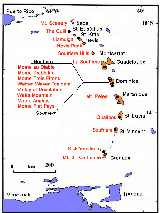
Caribbean Volcanoes The Caribbean is a region that consists of the Caribbean Sea, its islands, and the surrounding coasts. It comprises the areas southeast of the Gulf of Mexico and the North American mainland, east of Central America, and north of South America. |
Local time is
for Caribbean
countries on this page and for Reunion | |
 | ||
M O N T S E R R A T | ||
Montserrat is an Island of the Lesser Antilles chain and a British Overseas Territory. |
Ash piled as high as a streetlamp on the streets of Plymouth (1999):  © Gary Mark Smith, Wikipedia | |
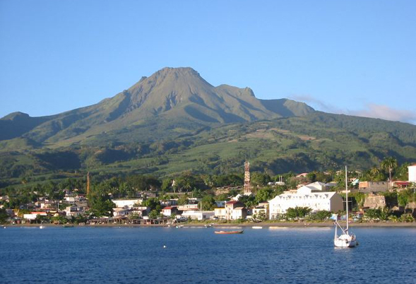
M A R T I N I Q U E & G U A D E L O U P E Both Martinique and Guadeloupe are part of the Lesser Antilles and overseas regions of France. | ||
|
Martinique: Mt. PELÉE 10 Min. O-Web O-IMG
|
Guadeloupe: SOUFRIÉRE de G. ? Min. O-Web O-IMG
| |
L A R É U N I O N | ||
|
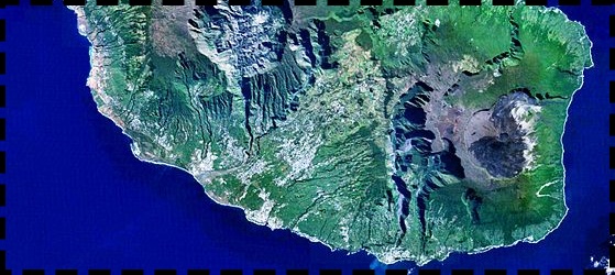
I am fully aware that La Réunion does not fit in here geographically. The Island lies some 700 km east of Madagascar in the Indean Ocean, and is an overseas department of France. Photo: B.navez, Wikimedia WEBCAMS
|
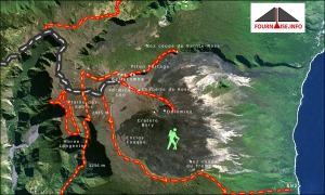
Left: Right: Detailed map on the wonderful website Fournaise.Info with many informative pages about hiking and viewing the volcano. Click on image for full view.  Click on image for large view of entire La Réunion.
| |
MODIS hot spot images for the countries on this page. Newest images are at least 20 hrs old; cloud cover may prevent detecting hotspots. - Displayed are the hot spots of the last 2 days (preceding the 20 hrs lag) for each volcano. Hot spots are shown as small green to red squares. - Click on an img to open large view. There you can change the time span to be displayed by changing the number (of days) for *jperiod=x* in the address bar (without the *). - Refresh with F5. | ||||||
| L. A N T I L L E S |
Soufrière H. |
Mt. Pelée |
S. Guadeloupe |
Dominica |
Qualibou |
|
|
Lesser Antilles, Northern Islands | ||||||
 | ||||||

 on top of a webcam a clear weather image from that webcam will pop up to help you picture the lay of the land when the mountain is shrouded in dark clouds for days or weeks!


