South America(without Chile.)The volcanoes of South America are almost all situated on the western side of the continent, where the subduction of the oceanic Nazca and Caribbean Plates under the South American Plate has pushed up the Andes as part of the American Cordilliera. This process is still going on and the visible aspect of it are devastating earthquakes and the numerous active volcanoes in those countries. |
Local time is for Colombia,
Ecuador and Peru | |
 | ||
| C O L O M B I A
| ||
|
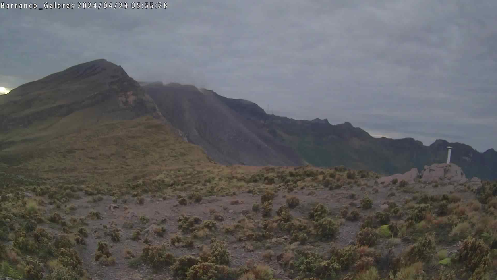
Colombia: GALERAS O-Web
O-IMG 1 min.
|
Colombia: GALERAS 2 O-Web
O-IMG 1 min.
| |
Colombia: GALERAS 3 O-web 5 min. O-IMG
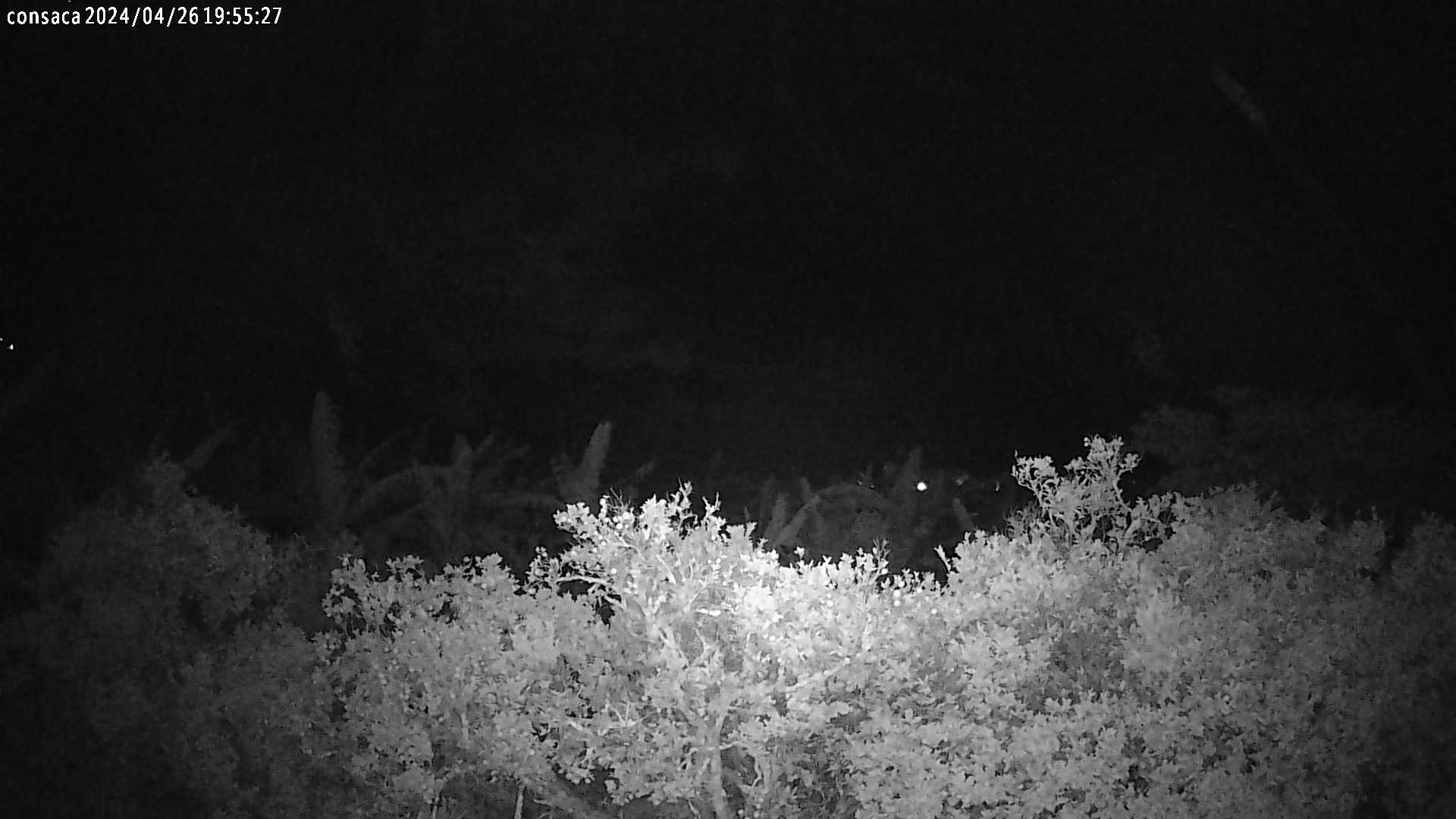
CHILES-CERRO NEGRO Mayasquer These two volcanoes on the border Colombia/Ecuador are classified as active stratovolcanoes, dominantly effusive with evidence of high explosive stages. Since Nov. 2013 hundreds of thousands of earthquakes occurred, mostly at depths <10km, and the alert level Orange has intermittently been called. 
|
Colombia: GALERAS 3 10 Min. O-Web O-IMG
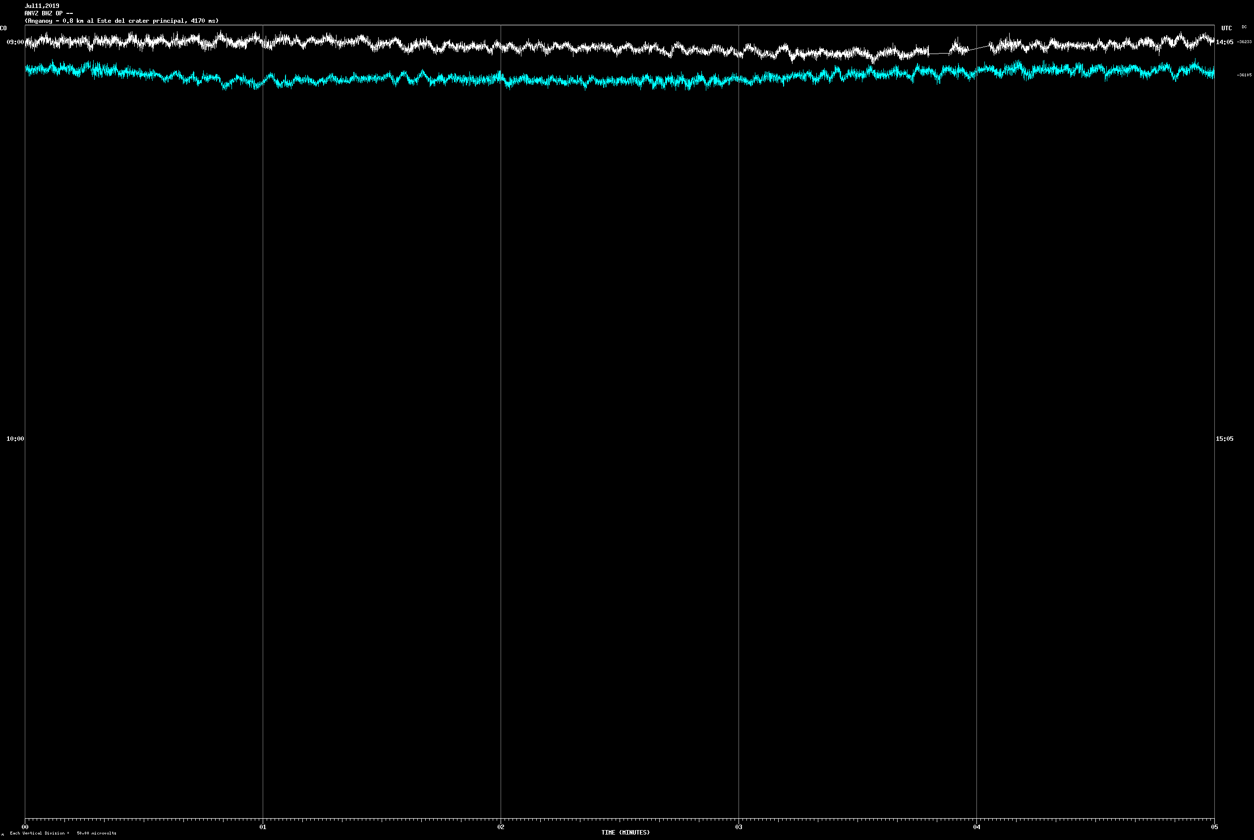
SEISMOGRAM GALERAS O-Web O-IMG
| |
Nevado del Ruiz is located 129 kilometers (80 mi) west of the capital city Bogotá with a hight of 5321 m. Its (often Plinian) eruptions often cause massive lahars. On November 13, 1985, a small eruption produced an enormous lahar that buried and destroyed the town of Armero in Tolima, causing an estimated 25,000 deaths - the deadliest lahar in recorded history. Ruiz is the second-most active volcano in Colombia after Galeras. (Wikipedia). It's observation is maintained by the Observatorio Manizales. |Seismograms| | ||
Colombia: NEVADO DEL RUIZ O-Img 1min. O-Web
|
Colombia: NEV. DEL RUIZ 2 O-Img 1min. O-Web
| |
Colombia: N. d. HUILA O-Web 1 min.
O-IMG
| ||
E C U A D O R | ||
GUAGUA PICHINCHA Scroll down to image O-Web page
|
COTOPAXI Scroll down to images O-Web page
| |
TUNGURAHUA Scroll down to images O-Web page
|
REVENTADOR Scroll down to images O-Web page
| |
Tungurahua is located in the Cordillera Oriental of the Andes of central Ecuador, 140 km (87 mi) south of the capital Quito. It is a steep-sided andesitic-dacitic stratovolcano that towers 5,023 m a.s.l. and more than 3 km above its northern base, and is one of Ecuador's most active volcanoes. Last eruption 12/2012. Reventador, some 175km NNE of Tungurahua, also is a presently very active stratovolcano. | ||

 on top of a webcam a clear weather image from that webcam will pop up to help you picture the lay of the land when the mountain is shrouded in dark clouds for days or weeks!


P E R U | ||
Also see the dedicated Peru page with seismograms |
||


MODIS hot spot images for the countries on this page. Newest images are at least 20 hrs old; cloud cover may prevent detecting hotspots. - Displayed are the hot spots of the last 2 days (preceding the 20 hrs lag) for each volcano. Hot spots are shown as small green to red squares. - Click on an img to open large view. There you can change the time span to be displayed by changing the number (of days) for *jperiod=x* in the address bar (without the *). - Refresh with F5. | ||||||
C O L O M B I A |
Galeras |
N. d. Ruiz |
N. d. Huila |
Cumbal |
Negro/Chiles |
Sotará |
E C U A D O R |
Tungurahua |
Reventador |
Cotopaxi |
Guagua Pichincha |
Sangay |
|
G A L A P A G O S |
Wolf |
Cerro Azul |
Sierra Negra |
Fernandina |
Alcedo |
|
P E R U |
El Misti |
Sabancaya |
Ubinas |
Tutupaca |
Ticsani |
Yucamane |
| ||||||