Here are RESOURCES related to the 2018 Kilauea Lower East Rift Zone eruption and Summit Activity | |
Live Stream(s):USGS/HVO run two LIVE streams on YT: 1) Kīlauea Volcano — From Northeast Caldera Rim and 2) Halemaʻumaʻu Crater (has ended)Unfortunately, CivilBeat had to stop broadcasting their "lava live stream": The house where the camera was operating from lost power and had to be evacuated. You can check back for any changes in the live cam situation on their You Tube channel or their Twitter feed. | |
Hawaii Volcano WebCamsThe images in this page are updated abt. every 20 minutes, at exciting events maybe faster. - The notes of seconds/minutes above an image show the approx. auto-refresh time. - If there is a sun button |
Click on images for larger view. - Photos courtesy HVO 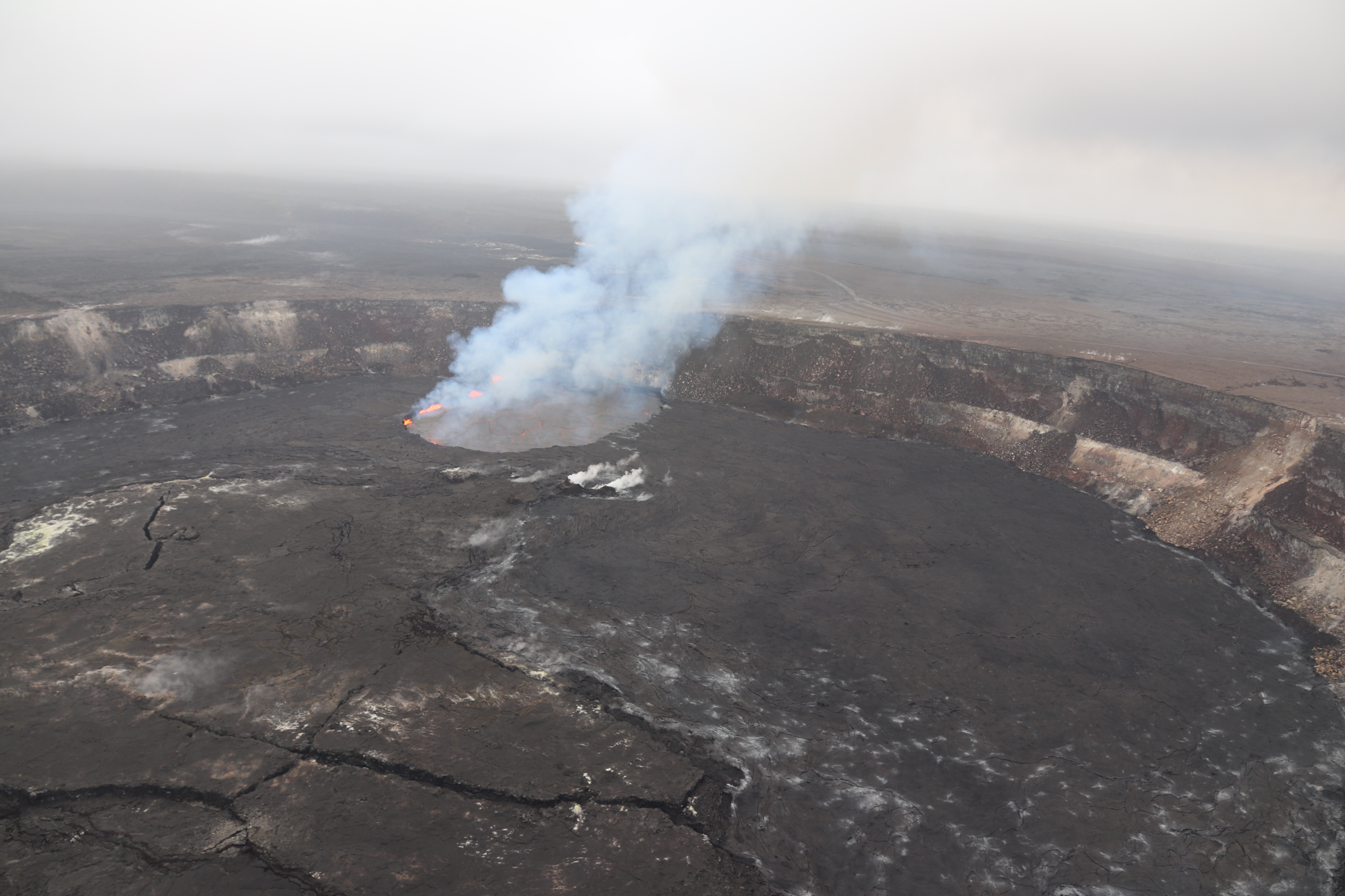 The active vent (Overlook crater) at the summit of Kīlauea Volcano is located on the flat floor of Halemaʻumaʻu, a crater in the volcano's caldera. This aerial photo was taken on May 1, 2018. 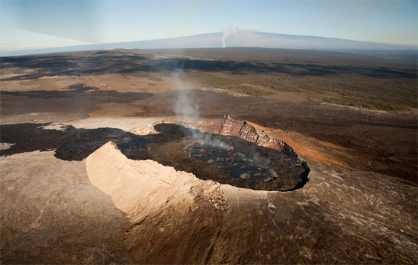 This photo, taken in July 2011, shows Pu‘u ‘Ō‘ō crater, looking northwest. The gas plume from the vent at Kīlauea’s summit is in the background. The gentle slope of Mauna Loa volcano forms the skyline beyond. |
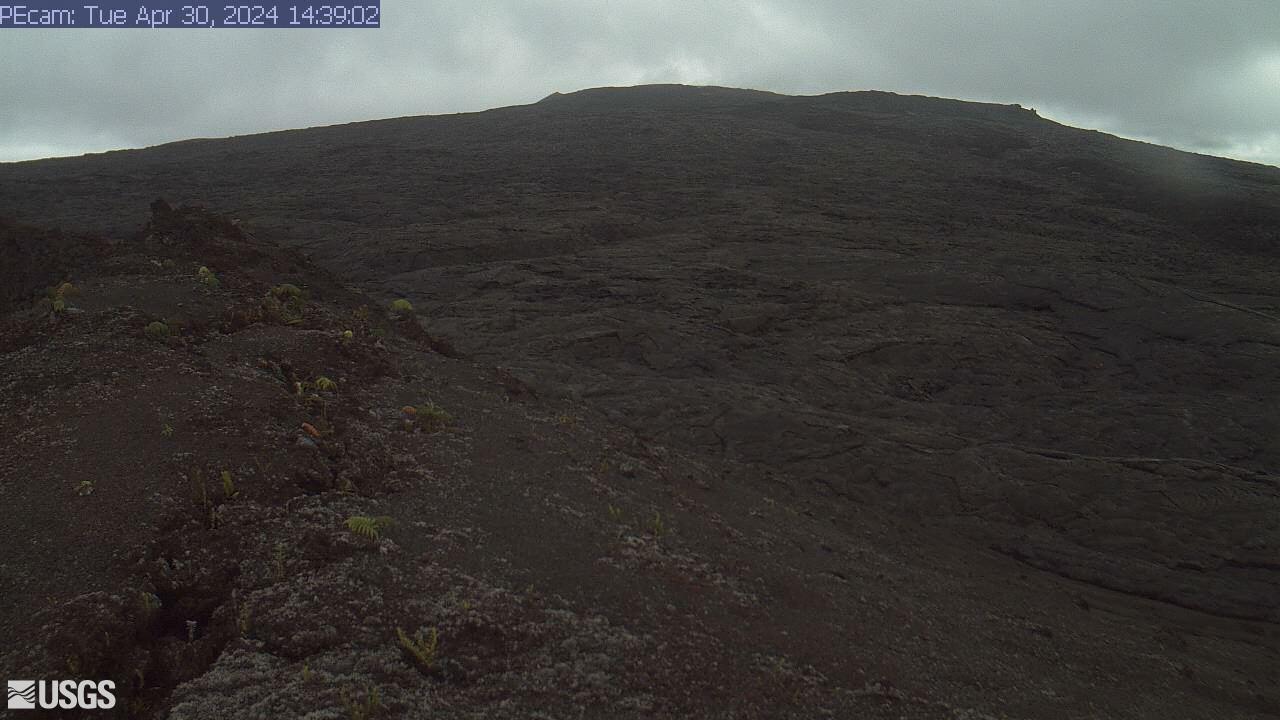
M A U N A L O A | |
|
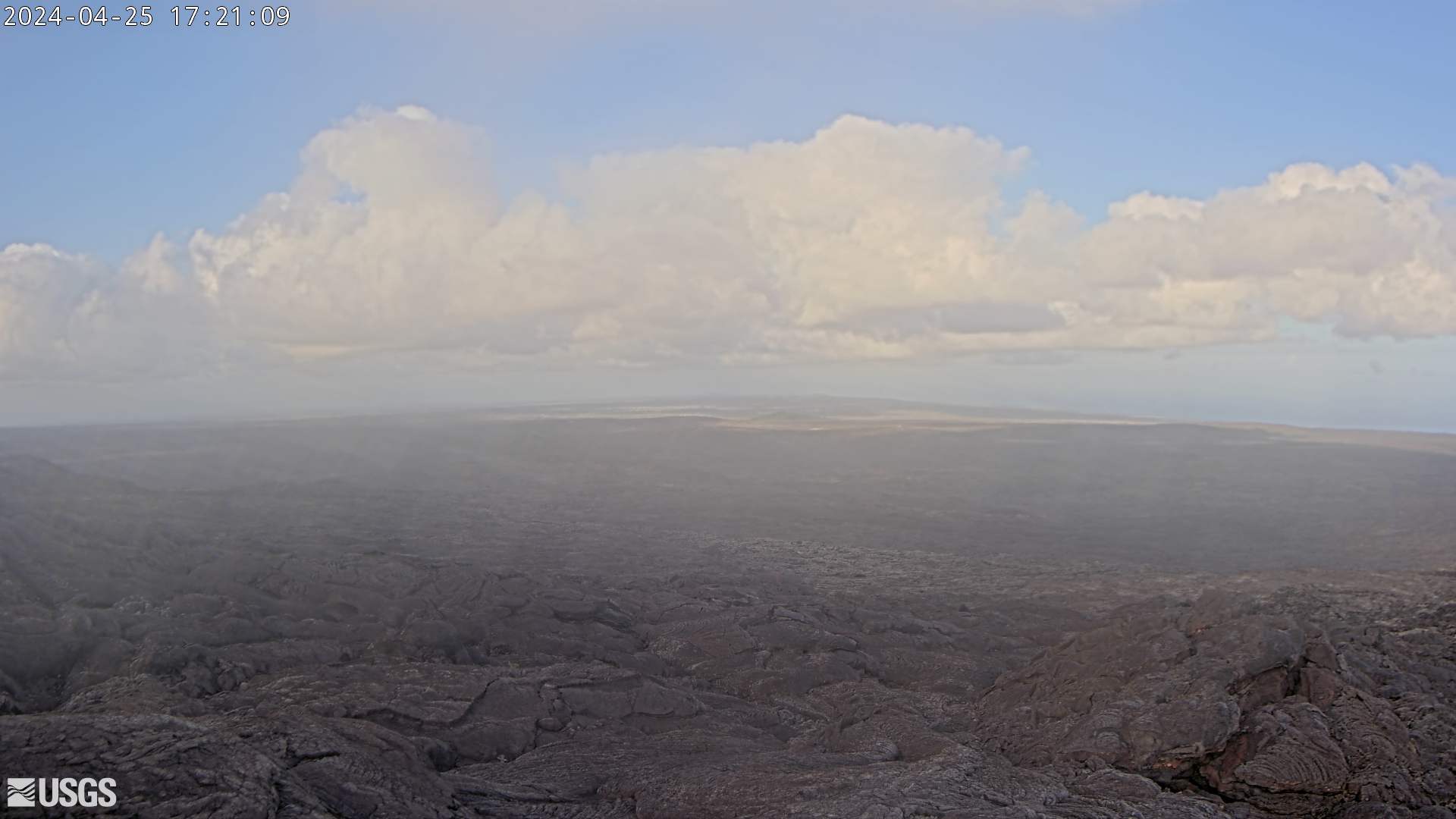
MAUNA LOA, NE Rift O-Web 15 min.
O-IMG
| |

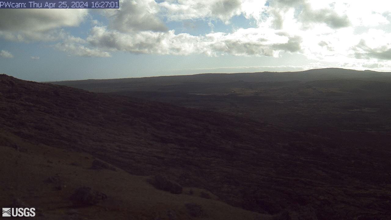
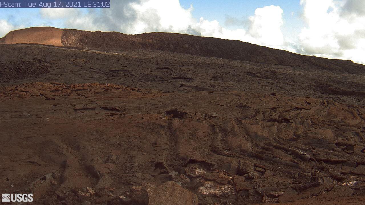
Camera positioned on a cone in Mauna Loa's Southwest Rift Zone. The camera looks northeast (upslope), focusing on the middle part of the Southwest Rift Zone. The volcano's summit is at upper right. [M2cam] | |
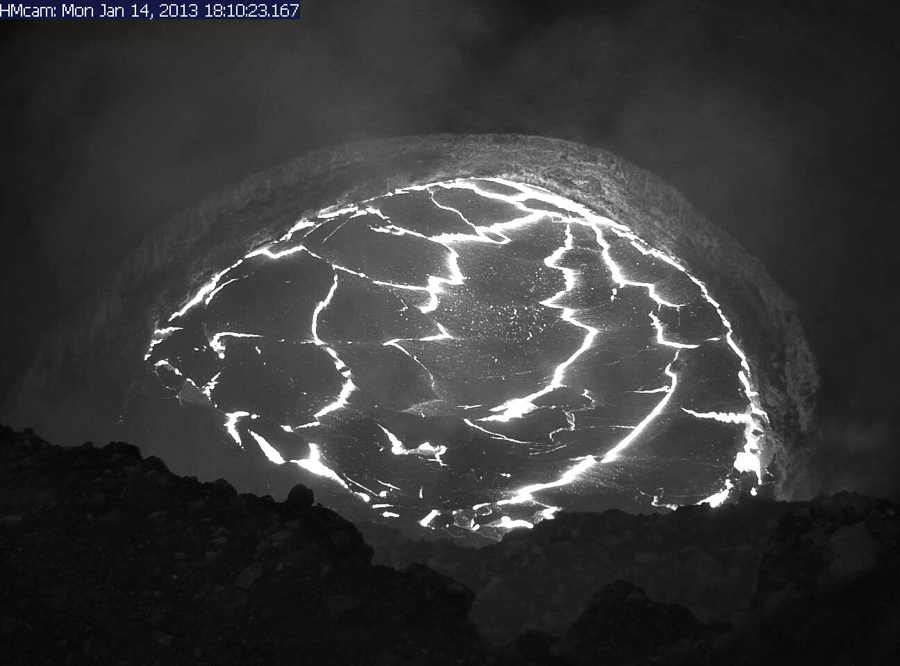
KILAUEA Summit - Halemaʻumaʻu Overlook | |

Panorama of Halemaʻumaʻu Overlook Vent, Wide Angle (WA) camera, from HVO Observation Tower [KWcam] | |
Live Panorama of Kīlauea Caldera from HVO Observation Tower [KIcam], looking SSE towards the active vent in Halemaʻumaʻu, 1.9 km (1.2 miles) from the webcam. For scale, Halemaʻumaʻu is approximately 1 km (0.6 mi) across and about 85 m (~280 ft) deep. | |
|
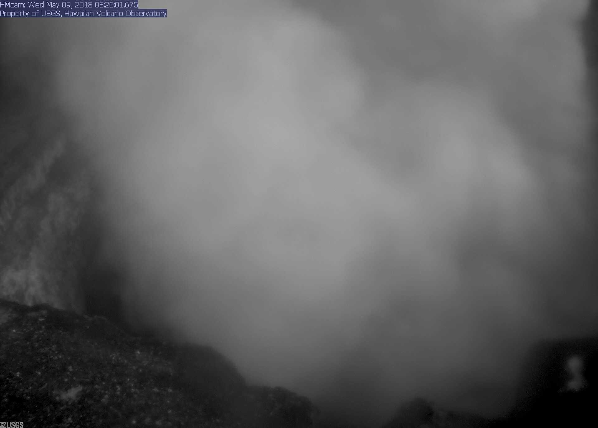
KILAUEA, Halema'uma'u Vent 2 O-Web 15 min.
O-IMG
|
COMPARE! O-IMG |
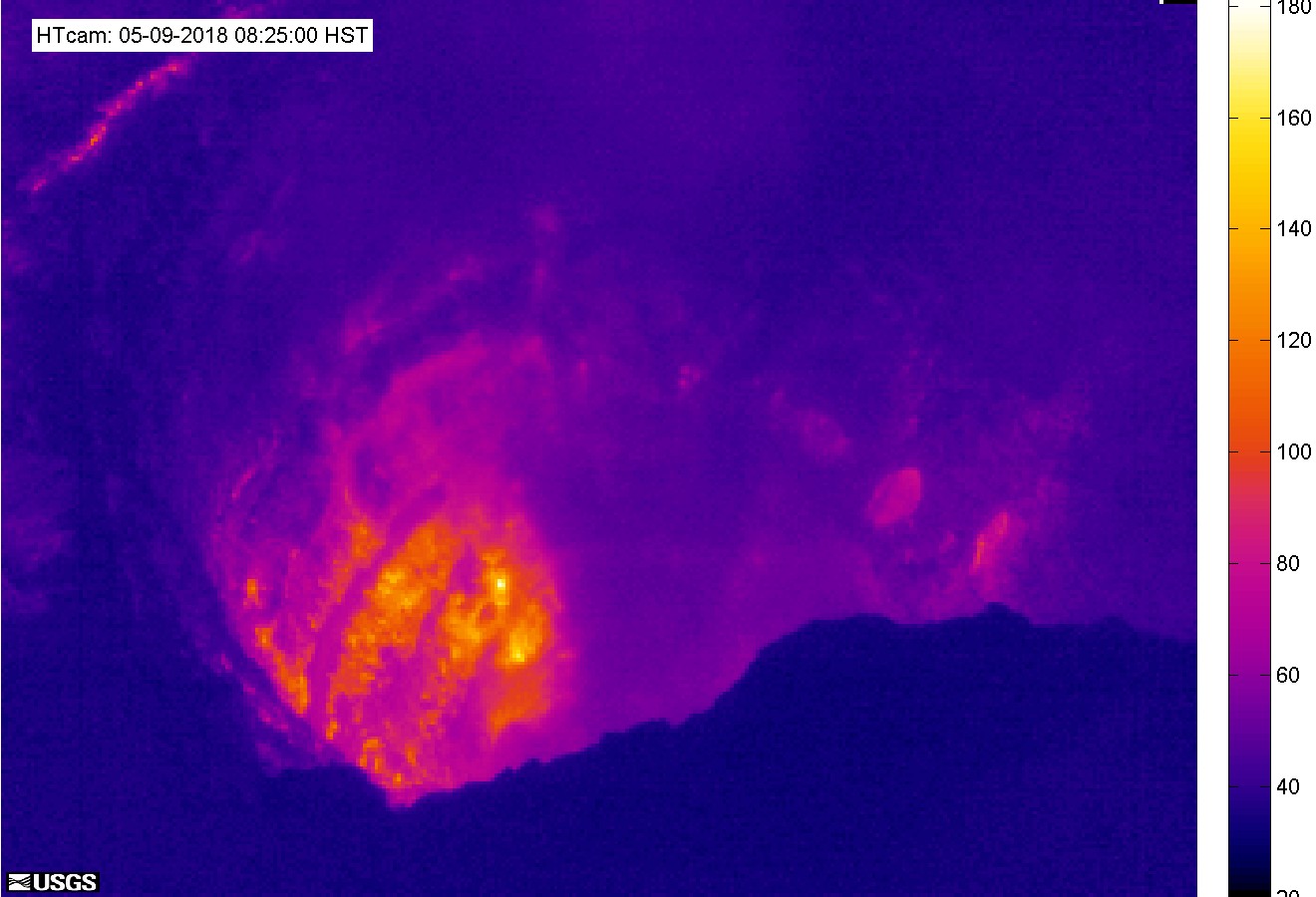
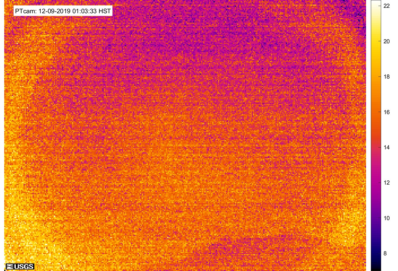
KILAUEA, Halema'uma'u Vent, Thermal O-Img 15min. O-Web
|
KILAUEA, Halema'uma'u Vent O-Img 15 min. O-Web
|
KILAUEA East Rift Zone | |

Camera positioned on the north rim of Puʻu ʻŌʻō, looking into the crater. The current crater is about 250 m (~275 yds) across. | |
Puʻu ʻŌʻō Crater, Thermal O-Web 15 min.
O-IMG |
Thermal image (left): The temperature scale is in degrees Celsius up to a maximum of 500°C (932°F) for this camera model, and scales based on the maximum and minimum temperatures within the frame. Thick fume, image pixel size and other factors often result in image temperatures shown being lower than the actual surface temperatures. |
Collapse of Puʻu ʻŌʻō crater floor on 5 March 2011 and 30 April 2018 | |
|
Puʻu ʻŌʻō crater is situated on the east flank of Kilauea volcano (East Rift Zone), in an over 200 m high relatively young cone and is ~400 m wide. I have been lucky to be able to watch this amazing event in March 2011:
- 05.03.2011: All lava that had been filling up the crater previously "disappeared" through a drain in the bottom (>200m deep) within a few hours. This was about the most stunning thing I had ever seen so far, especially when viewed as a time lapse video! (see USGS/HVO video to the right!) - In the following weeks the lava level rose gradually again as a lava lake. By spilling over the rims of that lake high levees grew around it. - July 2011: Constant over spilling and inflation from below built a cone within the crater, with the lake perched on top of it. The cone grew nearly as high as the crater rim and still flew over, i.e. the whole Puʻu ʻŌʻō crater floor was now covered and filled up with new lava. - 03.08.2011: The cone with the pearched lava lake in the middle collapsed leaving a crater floor full of a mix of hardened lava blocks and fluid hot lava. Lava started flowing out of Puʻu ʻŌʻō crater through a breach in the south-west crater rim, toward the coastal plains, which was also clearly visible on the webcams at night. Update 05.05.2018: A crater floor collapse of similar dimensions took place on 30 April 2018, followed a few days later by multiple-fissure eruptions down-rift. These began on May 03, with so far six outbreaks affecting residential areas and forests. | Video: Collapse of Puʻu ʻŌʻō crater floor on 5 March 2011 |
MOBILE 1
O-web
|
MOBILE 2
O-web
| MOBILE 3
O-web
|
MOBILE 4
O-web
|
MOBILE 5
O-web
|
MOBILE 6
O-web
|
MOBILE 7 O-Web
|
| |
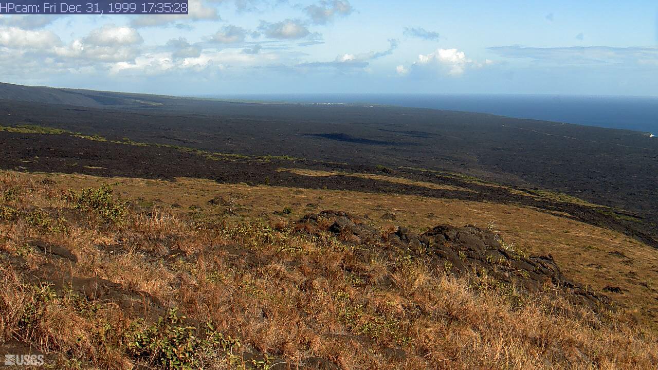
 on top of a webcam, on click, a clear weather image from that webcam will pop up to help you picture the lay of the land when the mountain is shrouded in dark clouds for days or weeks!